Ebbs and Flows
Mark Hanna on learning from the past, to learn about the future of the LA River.

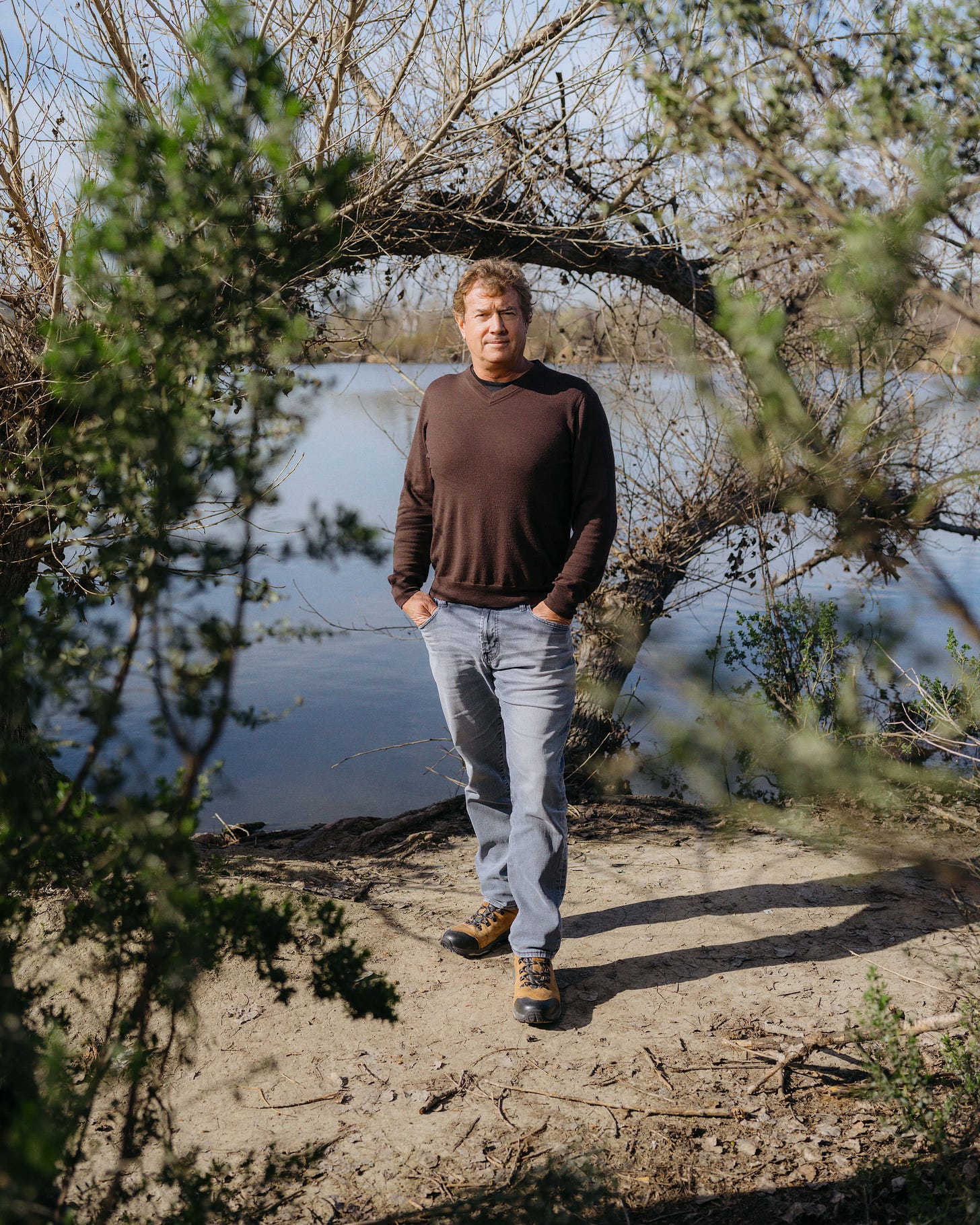
In the last month, we have featured interviews with individuals who have been involved with or working on the infrastructure of the LA River. In our city, there exist many differing viewpoints and visions for the river, a sentiment seen and felt by Mark Hanna, civil engineer with a specialization in hydrology, water resources management, and river restoration and revitalization.
As he puts it, “Here in Los Angeles, people want so much out of the river channel. People want so much for their communities— rightfully— and my contribution to that effort is a small piece.”
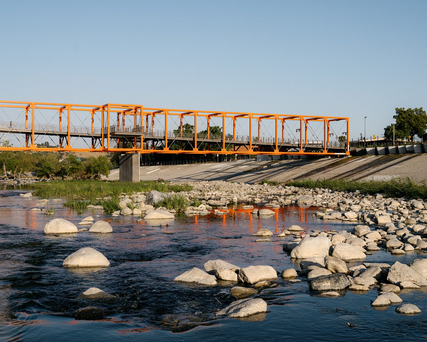
During our conversation with Mark, it became clear that many times those tasked with dealing with the future of the LA River, are haunted by the ghosts of the massive channelization project undertaken by the U.S. Army Corps of Engineers. The extensive series of dams, reclamation plants, and of course the channel itself have allowed for the communities around the river to exist (for the time being) but, in essence, have trapped the river in this concrete corset, unable to grow or meander past that.
Here at Clockshop, we’ve been thinking extensively about our relationship with water and the river. A simple question guides our thinking: What does water want?
In speaking with Mark, in order to begin to answer this question, it is important to first understand how we have interacted with water in the past. It is these past exchanges that will ultimately guide how we move forward with new visions for the river and for our city.
Mark Hanna is a fifth-generation Californian who has spent the last 25 years helping to solve some of the Southwest’s biggest water resource challenges. As a senior principal for Geosyntec and manager of their Downtown Los Angeles office, Mark specializes in hydrology, large system hydraulics, and local water resources. He recently completed the LA County LA River Master Plan and is currently directing the City of Los Angeles’ Sepulveda Basin Vision Plan.
The following interview between Mark Hanna, Julia Meltzer, and Darío Herrera has been edited for clarity.

JM: We are approaching the 100-year anniversary of the commencement of the channelization of the LA River. Could you speak more about that process?
MH: It really was one of the early massive public works projects that included this channelization at such a large scale. But the channelization occurred long before the Army Corps showed up. A farmer would put some riprap, and it would push across into someone else's.
With the massive growth that happens in Los Angeles, people really bolted up against this little waterway that every once in a while would become a torrent. In 1938, when the final decision was made to complete this process in the build up towards World War II, the federal government thought, “Whoa, that [flooding] can't happen again.”
The whole point is to move the water as quickly as possible past where it will cause harm if you're a flood risk manager.
When you look at the LA River channels, the concrete is super smooth. The bridge abutments cut like a knife. That’s because you just don't want any turbulence.
You want [the water] to just smoothly move as quickly as possible. Another way of doing that is straightening the line, right? So if you look at a historical image of the LA River, it was probably two or three times longer than it is today because it would migrate across from Cudahy to Bell and back again to Signal Hill and then slam into the ocean, somewhere across that seaboard there.
And now it's a straight line, which means it's the steepest it can be. As it meanders, you take up some of your topography in a straight line; you make the banks as smooth as possible. And you use the debris basins to unbulk, to pull material that's going to slow the water down.
You have a maintenance program that goes in there. It cleans all the trees and gets everything out so that you are creating zero friction and the water is going to move as fast as possible. It's a model that works well if you're worried only about flood risk.
JM: What role would you say property values or private interest played in the development of the LA River and surrounding communities?
MH: Land developers have one idea in mind and that's to maximize the number of humans that are going to live on a piece of property, or maximize the value of the structures that are going to be on a piece of property.
Property values drive a lot of private interest and private investment.
Let’s look at Riverside Drive. [The river] meanders, then you look at all the building stock that's away from the river on the other side of Riverside Drive versus the building stock that's between Riverside Drive and the river channel itself.
It’s very clear; the channelization opened up this area for development. Whereas prior, it was basically, environmentally constrained to outside of Riverside Drive—hence the name Riverside Drive. It was really like, of course Riverside Drive was along the side of the river, but not for several decades.

DH: Can we talk a bit more about flooding? How do you actually physically reduce risk from floods?
MH: I would say it would really be creating pretty simple setbacks. Science has moved so far from just what humans need. You don't just need a pocket park; you actually need spaces where we can decompress. But as policy makers would come through, and developers who were being productive and making money, a lot of times the policy makers were also the landowners that would buy land cheap near the river and sell it at a higher cost.
And so the policy makers would break through their own policies. I think we still continue to see that today, but it would be fantastic to go back 100 years and say, “Alright, I know you haven't seen it rain here in 10 years, but it's going to, and these are the boundaries that development stays out of.”
DH: Can you connect issues around the LA River and water management to other water issues in Southern California?
MH: Yes, it is interconnected for sure. If we don't supply our own water here in Los Angeles, we're going to reach other places and bring water in, and what we're seeing now is that we're doing both. We're not only bringing water in but also sending people out.
For instance, we import water from the Bay Delta, and when you go home, turn on the tap, get a drink of water, or take a shower all of that goes out the drain to one of these water reclamation plants, depending on which sewer shed you live in. And they treat the water to a standard that meets the water quality requirements placed upon the LA River.
The three main ones are Donald C Tillman in Sepulveda Basin, in Glendale over where the Verdugo Wash enters the LA River and then the Burbank Water Reclamation plant that flows down the Burbank Channel and enters the LA River. And together these flows combine to a significant amount of water that is probably enough water to provide the City of Long Beach with all their water needs.
That water is then released into the river, flows down 365 days a year, and empties into the ocean. It has nutrients in it and irrigates crazy non-native vegetation in the [Glendale] Narrows.
Then the flood managers come and go, “Oh, we gotta get rid of this vegetation.” And people are like, “Oh, but we love vegetation. I want to enjoy the river.”
So we need the water in the river, but it's growing these plants that create the flood risk. It's this really interesting component.
Working on the LA River Master Plan was really a critical component of my professional career because the LA River itself contains many of these societal issues.
I pride myself on doing solid technical studies. Sometimes people are pleased with the outcome, and sometimes people wish the numbers told different stories. But by staying true to the technical aspects of this, I feel like I've been able to continue working on projects that, again, have greater importance for the larger community.

-
Click here to explore more of the Cultural Atlas at takemetoyourriver.org


